Soc Trang Province:
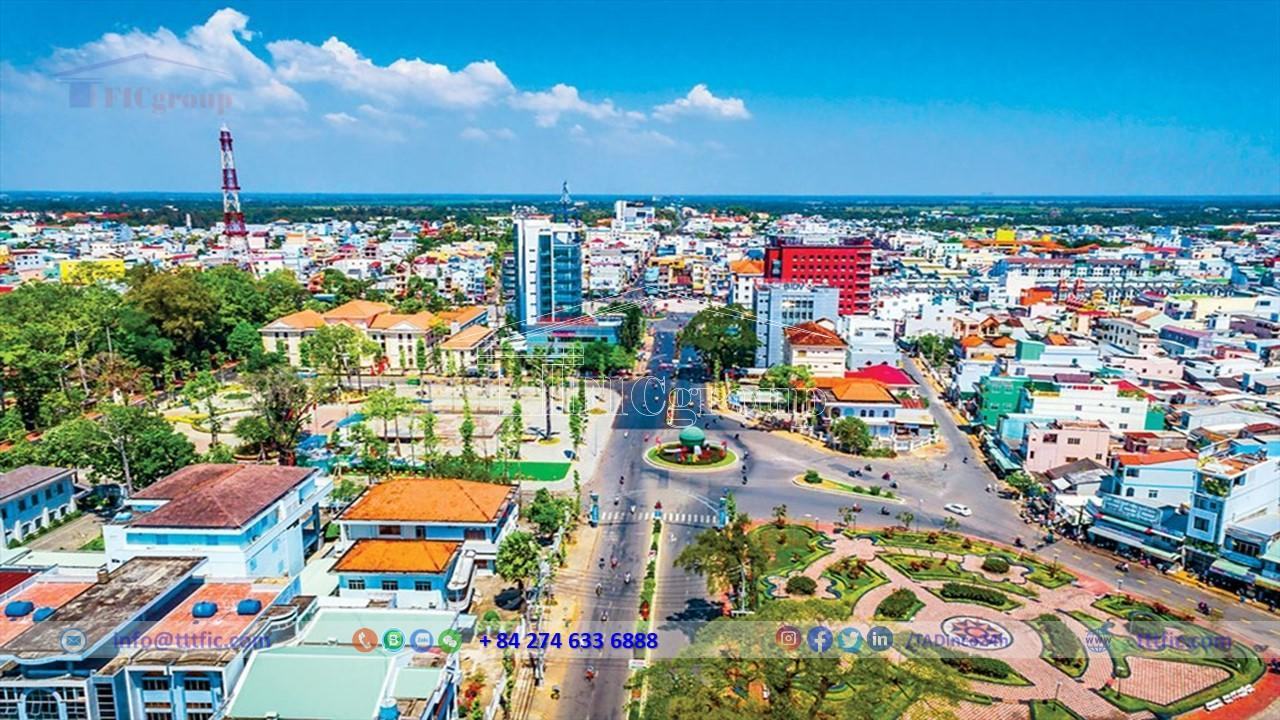
Soc Trang Province is a coastal province located in the downstream of the Hau River in the Mekong Delta region of Vietnam.
In 2018, Soc Trang Province was the 22nd most populous administrative unit in Vietnam, ranked 38th in terms of Gross Regional Domestic Product (GRDP) and 51st in terms of per capita GRDP. The province was ranked 47th in terms of GRDP growth rate. With a population of 1,315,900, the GRDP reached 49,346 billion VND (equivalent to 2.1432 billion USD), per capita GRDP reached 37.5 million VND (equivalent to 1,628 USD), and GRDP growth rate reached 7.20%.

Geography of Soc Trang Province:
Location:
Soc Trang Province is located in Southern Vietnam, at the southern mouth of the Hau River, with a very favorable location on the National Highway 1 that connects neighboring provinces of Hau Giang, Can Tho, Bac Lieu, and Ca Mau. With a coastline stretching 72 kilometers and 3 major river mouths including Dinh An, Tran De, and My Thanh, the province borders the East Sea and other provinces such as Tra Vinh, Vinh Long, Bac Lieu, and Hau Giang. Soc Trang also has various extreme points in different communes and attracts many tourists.
Topographic:
Sóc Trăng is a low and relatively flat province with a basin-like shape, with higher elevations in the south near the Hau River and gradually decreasing towards the East Sea. The lowest area is in the west and northwest, with an absolute ground level ranging from 0.4-1.5m and a slope changing about 45cm per kilometer. The terrain is undulating, interspersed with relatively high sand dunes and low areas contaminated with salt and lime. Sóc Trăng has a canal system influenced by the tidal regime, with the tide level fluctuating on average from 0.4m to 1m twice a day. The tide in the coastal area is associated with local production and daily life, while also providing many fascinating experiences for visitors to explore the natural forest ecosystem.
Climate:
Soc Trang province has a tropical monsoon climate, consisting of a dry season from November to April and a rainy season from May to October. The annual average temperature is around 26.8°C, and it is rarely affected by storms and floods. The average rainfall is 1,864mm per year, mainly concentrated in August, September, and October. The average humidity is 83%, creating favorable conditions for growing rice and flowers.
River:
Soc Trang has a system of canals and ditches influenced by tides, with the tide level fluctuating between 0.4 meters and 1 meter on average, which provides many interesting things for tourists. With its special location, where the Hau River flows into the East Sea, Soc Trang has abundant seafood resources and favorable conditions for developing a comprehensive marine economy.
Natural resources:
Soc Trang is a locality with abundant and diverse land resources. With land that has a high fertility, Soc Trang is suitable for cultivating many crops such as rice, sugarcane, soybeans, corn, vegetables, and fruit trees such as grapefruit, mangoes, and rambutan, among many other types of crops. Currently, agricultural land accounts for the majority of the province’s land area, of which agricultural production land occupies 62.13%, aquaculture land occupies 16.42%, and salt production and other agricultural land occupy 0.97%. However, Soc Trang also faces difficulties with a shortage of fresh water and saltwater intrusion during the dry season, and some areas are contaminated with salt.
In addition to land resources, Soc Trang also has forest and sea resources. The forest resources of Soc Trang mainly consist of trees such as mangrove, banyan, jackfruit, areca, and water coconut. The forests of Soc Trang belong to the coastal mangrove forest ecosystem and the reed forest in areas with salt contamination. With 72 km of coastline and 2 major rivers, the Hau and My Thanh Rivers, Soc Trang also has significant marine resources including bottom fish, floating fish, and shrimp. The marine resources of Soc Trang can develop into a comprehensive marine economy, aquatic agriculture and forestry, industrial development towards the sea, seaports, fish ports, seaport services, import and export, tourism, and maritime transportation.
With such diverse resources, Soc Trang has the potential to develop economic sectors such as agriculture, forestry, aquaculture, and eco-tourism. Areas such as the islands of Ke Sach, Long Phu, and Cu Lao Dung are also ideal destinations for tourists due to their unique features.

Economy:
The province has made significant progress in terms of economic and social development in recent years. In 2018, the economic growth rate reached 7.2%, and many economic and social targets were met or exceeded. Agricultural and aquatic product output both increased compared to the same period. Positive investment attraction activities contributed to exceeding state budget estimates. Cultural and social sectors also made progress, with improved teaching and learning quality. Social welfare policies and poverty reduction received attention and implementation. In 2019, the province achieved and exceeded 20 economic and social targets, with economic growth reaching 7.3%.
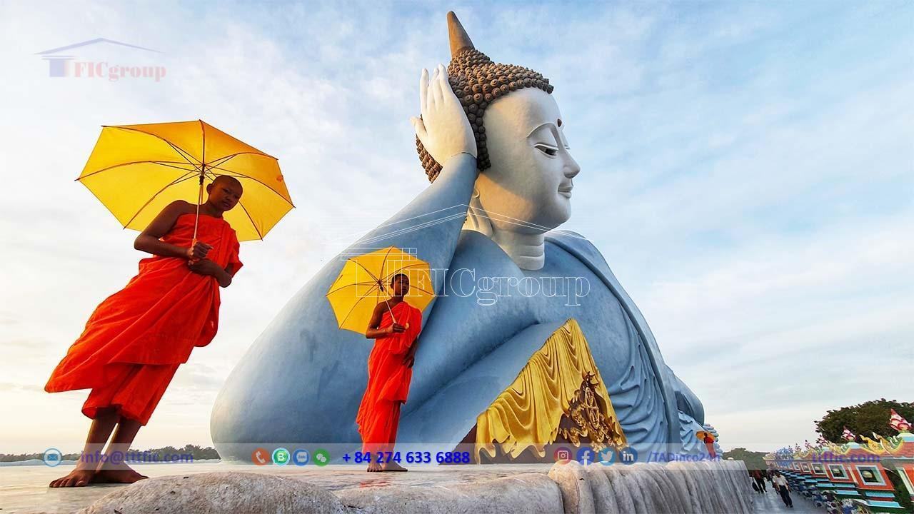
Society:
The population of Soc Trang province has undergone changes between 1991 and 2020. The province’s population increased from 1,067,167 people in 1991 to a peak of 1,313,832 people in 2017 before decreasing to 1,195,741 people in 2020. As of April 1, 2019, the province had a population density of 362 people/km², with 32.4% of the population living in urban areas and 67.6% living in rural areas. The province is home to three main ethnic groups: Kinh, Hoa, and Khmer, as well as many other ethnic groups. Regarding religion, the province has 10 different religions, with Buddhism being the most prevalent. The healthcare sector in the province is relatively homogeneous, with large hospitals and district health centers available at the district administrative units.
